A collaborative effort involving the SUNY and USGS is currently underway to map the movements of walleye during their critical spring migration. By combining new navigation equipment with advanced scientific sampling, researchers are building a clearer picture of how these fish utilize the St. Regis River.
Understanding the Spring Run
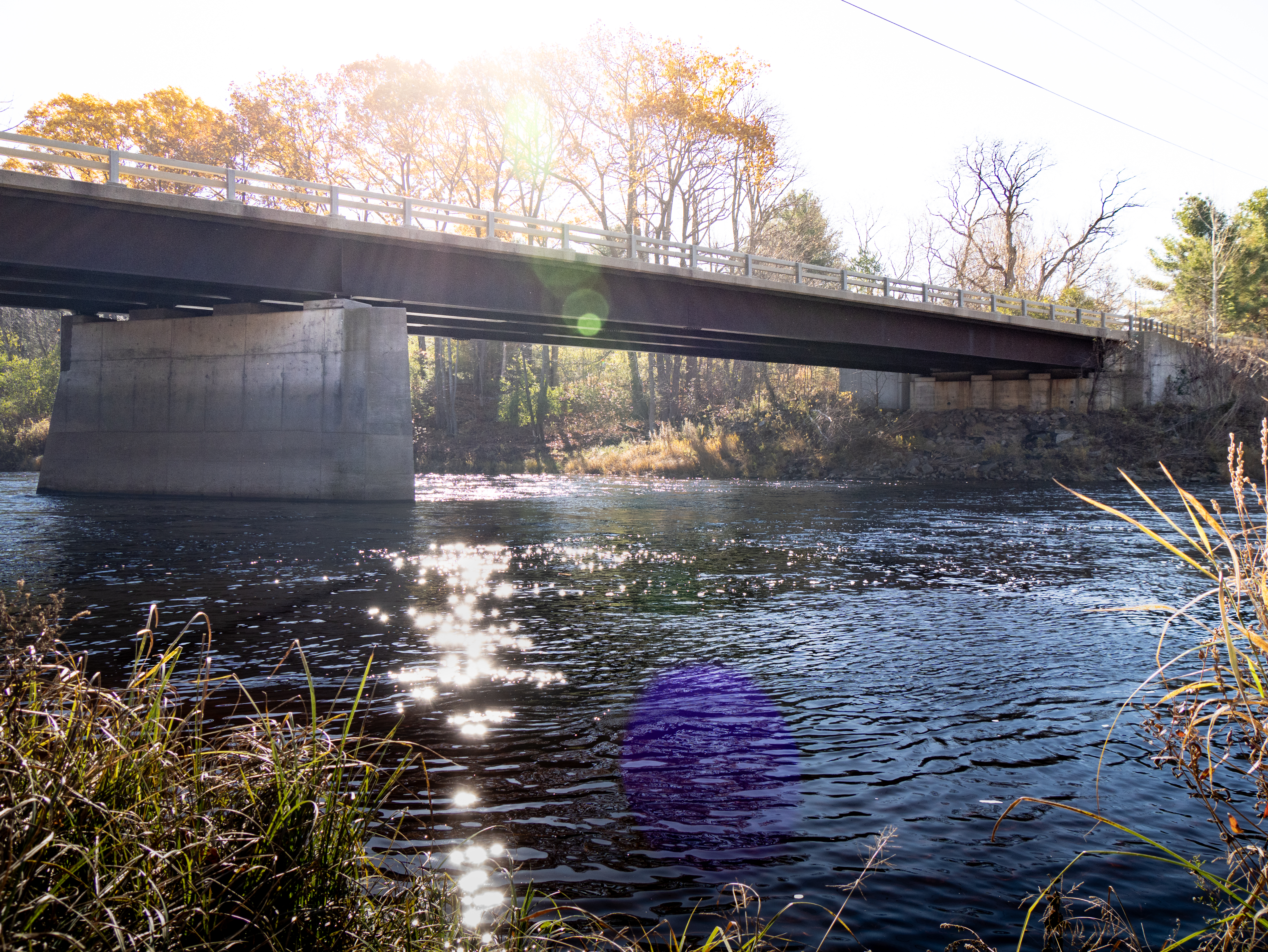
Each spring, walleye begin a migration upstream, seeking out shallow, fast-flowing sections of the river to spawn. Understanding this seasonal movement is vital for researchers, as it allows them to identify essential habitats and monitor changes in the population. However, effectively tracking these fish has historically presented logistical challenges.
A New Way to Access the River
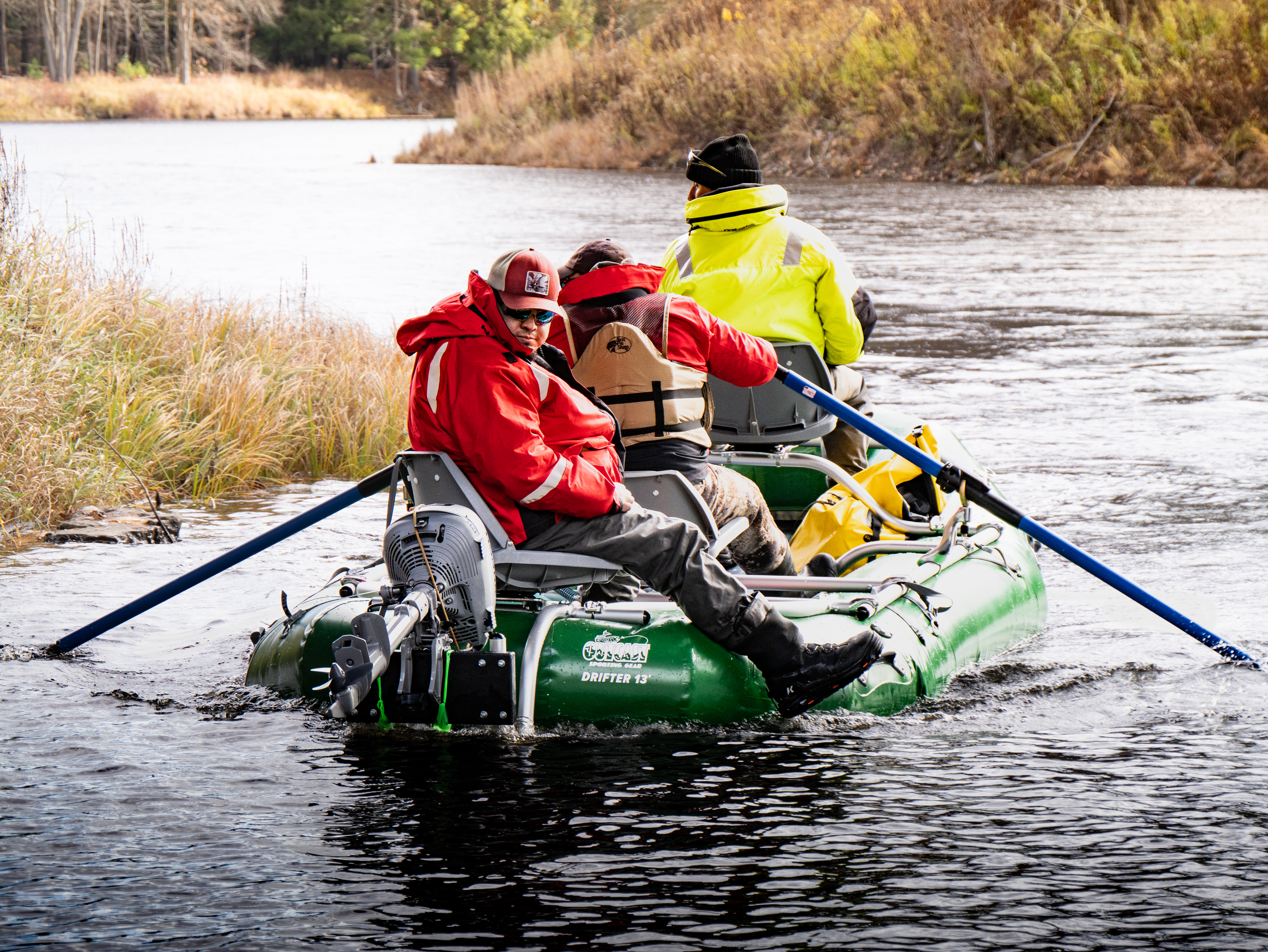
Previously, researchers were limited to monitoring only the sections of the river that were accessible by road. This restriction limited how much of the river could be monitored and prevented targeted sampling.
To overcome this, the project acquired a new research raft—a Drifter 13'—funded through support from SUNY and the USGS. This vessel allows researchers to navigate the river directly, reaching key habitat stretches that were previously out of reach.
Tracking the Trail with eDNA
The primary scientific method used during these river trips involves collecting water samples for environmental DNA (eDNA) analysis. As walleye swim, they leave behind tiny genetic traces in the water.
By analyzing these samples, researchers can:
This data is crucial for guiding habitat protection efforts and establishing long-term monitoring protocols for the river ecosystem.
This project features photography and videography provided by The Saint Regis Mohawk Tribe's Center for Media and Communications. Special thanks to photographer Austin Herne and videographer Kahentawaks Perkins for documenting this project. Funding for the research raft was provided by SUNY and the USGS.